URBAG participation at AGU23
21 December 20232023 American Geophysical Union (AGU 2023)Dates: 11-15 December 2023
As every year, the AGU Annual Meeting has taken place, bringing together more than 25,000 participants from over 100 countries. Scientists, policymakers, communicators… Everyone is welcome to share science and try to better understand our planet and environment.
This year, thanks to the hybrid model that capitalizes on both personal and virtual participation, Gara Villalba presented the work “The atmospheric GHG monitoring network of the Metropolitan Area of Barcelona” in the session “Urban climate, vegetation, and biogeochemistry: Interactions and implications for society”. In addition, Sergi Ventura presented the work “How climate change will affect future heatwaves at the urban scale: the case study of the Metropolitan Area of Barcelona” in the session “Extreme weather and climate in urban areas, their social impacts, and mitigation” through the iposter platform offered by AGU.
Presentation by Gara Villalba et al.
The ICOS Cities Horizon 2020 project makes observations on Greenhouse Gases (GHG) emissions in densely populated urban areas, since these contribute a large percentage of total emissions originating from fossil fuels. ICOS Cities concentrates and evaluates different approaches to record GHG emissions in these areas, with the objective of developing useful tools and service for cities in support of their local climate action plans. This project has expanded to 12 European cities, including Barcelona.
The Barcelona conurbation area extents up to 4200 km2 and has a total population over 5 million habitants. It includes green areas, industrial zones and agricultural soils but also some areas with the highest density population in Europe. The Metropolitan Area of Barcelona (AMB) is the region of the conurbation that cover Barcelona city and 32 of the surrounding municipalities, covers an area of 636 km2 and has a population of 3.2 million habitants (~5000 hab./km2).
In order to study the GHG emission at the AMB, four continuous atmospheric measurement stations for greenhouse gases have been installed in different areas of the AMB. The stations include a Cavity Ringdown analyzer for CO2 and CH4 with calibration tanks referred to NOAA scale and are strategically placed in different characteristic areas of the urban conurbation. ICM stations is located at the Barcelona seafront, IDAEA station in a university campus near a high traffic route inside Barcelona city, Observatori Fabra in a meteorological observatory in the middle of a mountain range 300m above Barcelona skyline (at 410 meters above sea level), and ICTA in a university building rooftop in the second metropolitan ring.
Here we present the results of the first two years of atmospheric monitoring data for these stations. The CO2 and CH4 measurements are complemented with meteorological measurements in order to know the precedence of the air masses. The data obtained is used study the meteorological influence on concentrations and estimate the city’s budget emissions with the help of models, in the frame of the URBAG project.
Villalba_AGU23Gara Villalba’s presentation
Presentation by Sergi Ventura et al.
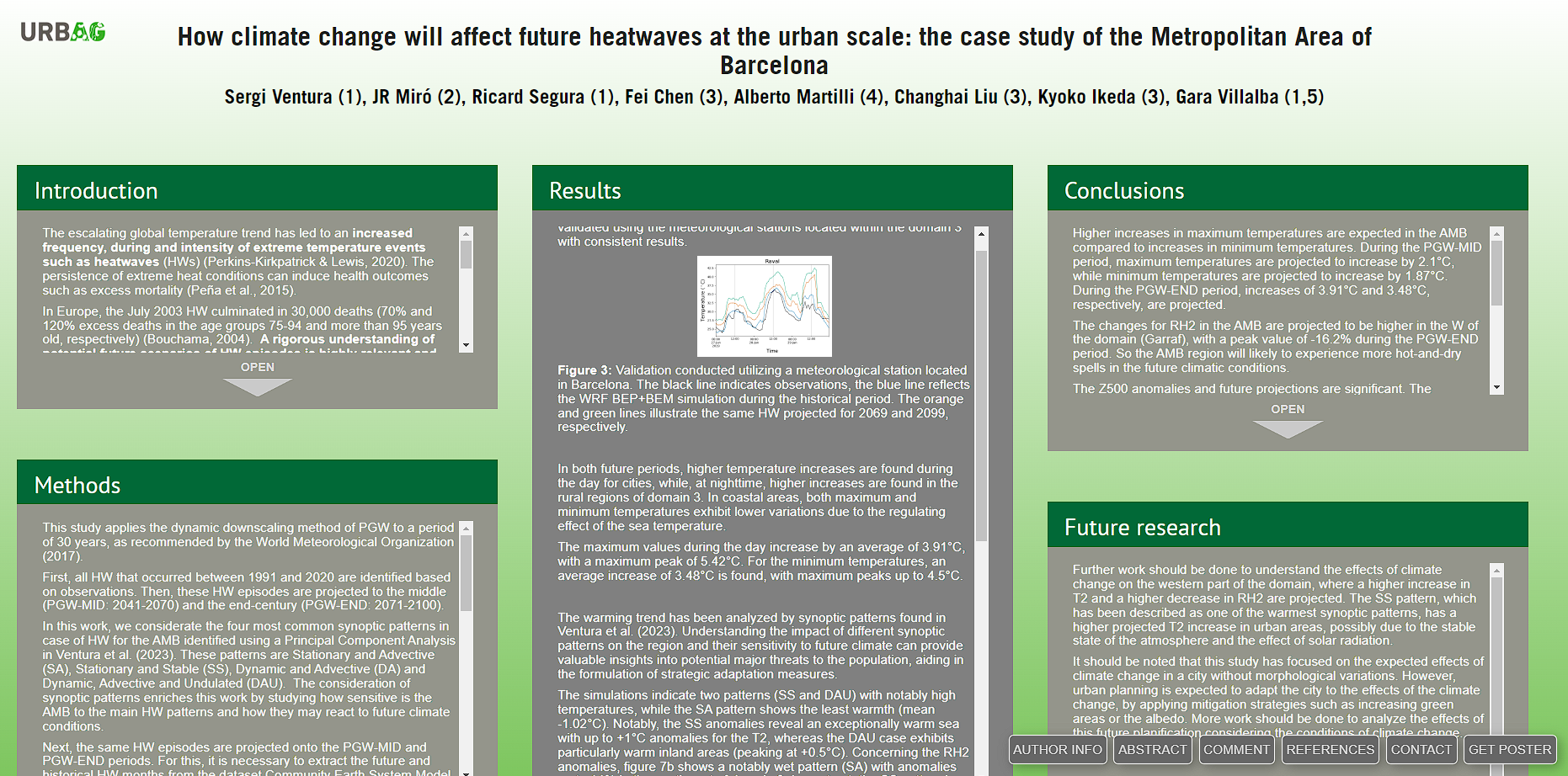
The future of extreme temperatures is projected to become more frequent, intense and prolonged. Improving our understanding of extreme temperatures is critical to mitigating climate change and reducing mortality. However, due to the expensive computational cost, few studies have analyzed the effects of heat waves at urban scale. In this study, we determine the expected future heat wave episodes at the Metropolitan Area of Barcelona (AMB) using the pseudo-global warming approach to downscale an ensemble of 100 members at 1-degree spatial resolution (LENS2). First, the heat waves observed during the last climatic period (1991-2020) are simulated using the WRF model with the urban parameterizations BEP+BEM at 1 km resolution, using ERA5 as initial conditions. Then, the ERA5 dataset is perturbed with the climate change conditions according to LENS2, which considers the SSP370 scenario, and is used as the initial conditions for the simulation of the future period. The heat waves simulated for the 1991-2020 period are projected to two future periods: 2041-2070 and 2071-2100.
The results are analyzed not only in terms of temperature and relative humidity but also in terms of mean sea level pressure and geopotential height with the aim of describing the effects that different synoptic patterns can generate at the urban scale. The simulated days are divided into four synoptic patterns that account for more than 50% of the total statistical variance of heat waves in the AMB. The results show that although the mean sea level pressure does not show significant changes, the geopotential height could increase up to 100 gpm by the end of the century, especially in the Mediterranean area. The stable and stationary pattern, which is the most frequent pattern and is expected to increase in frequency, projects higher temperature increases in urban areas, with maximum values up to 4.3°C during the 2041-2070 period and 5.8°C during the 2071-2100 period. These results highlight the importance of designing mitigation strategies that could reduce the vulnerability of the population to heat wave episodes.
iPoster online visualization
